Geology
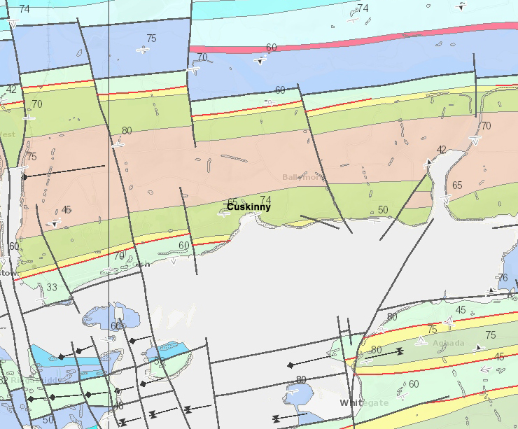
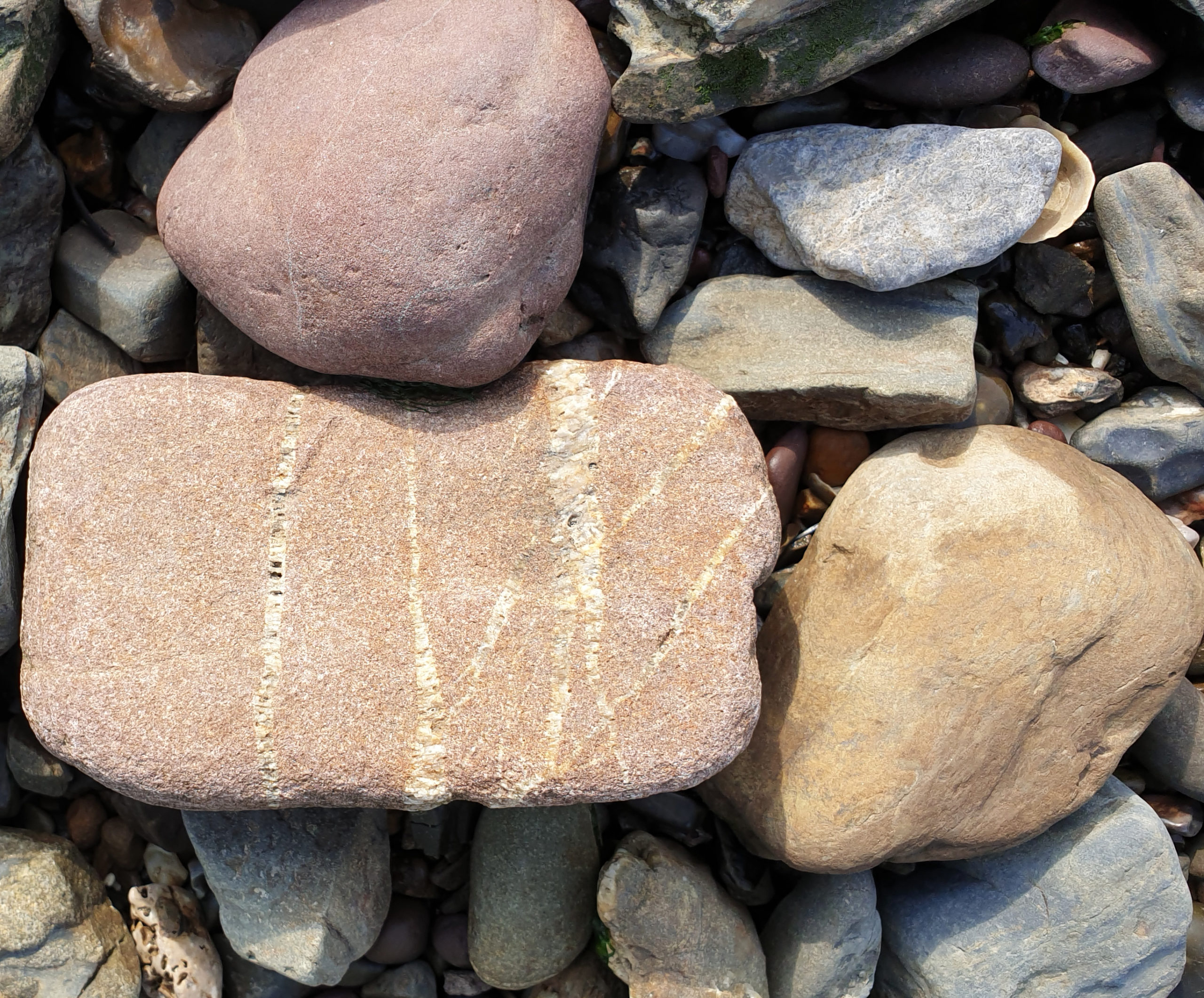
The solid geology of Cork Harbour is shown in the Geology of the Cork District map (MacCarthy, 1988). The southern end of the reserve lies within the Upper Devonian Kiltorcan Formation (Gyleen Member). These are green, grey and red sandstones and purple and red siltstones. The majority of the reserve lies within the Upper Devonian Ballytrasna Formation. These are red and purple siltstones. A fault runs NNW-SSE through the reserve, upstream of the lake.
Geomorphology/landform
The reserve lies in a narrow (c. 200 m wide) valley, which runs northwestwards from its mouth at Cuskinny Bay. Either side of the valley floor, the land rises quite steeply to around 70-80 m on the ridgetops. Cuskinny Bay is a U-shaped bay that extends around 300 m landwards from its mouth, where it is around 500 m. The intertidal area, as indicated on the OS 6″ map has a maximum breadth of around 140 m.
Soils/substrates
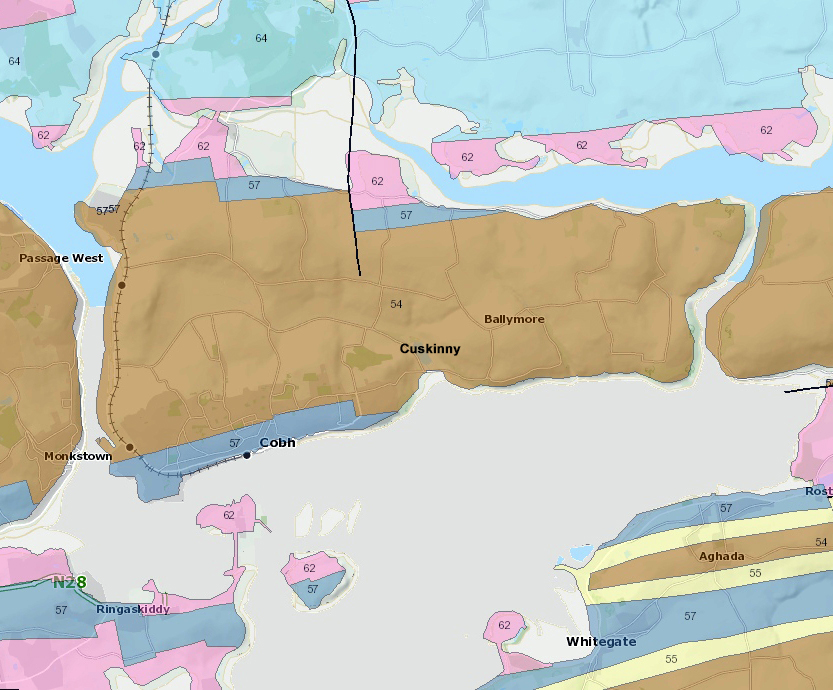
The Ireland General Soil Map (Gardiner and Radford, 1980) defines the soils of Great Island as Association 15, comprising 60% Brown Podzolics, 20% Acid Brown Earths and 20% Gleys. However, this map presents a generalised picture of soil type distributions at a regional scale. Due to its scale (1:575,000) it cannot show localised variations. It is likely that wet mineral or organic soils occur within Cuskinny Nature Reserve.
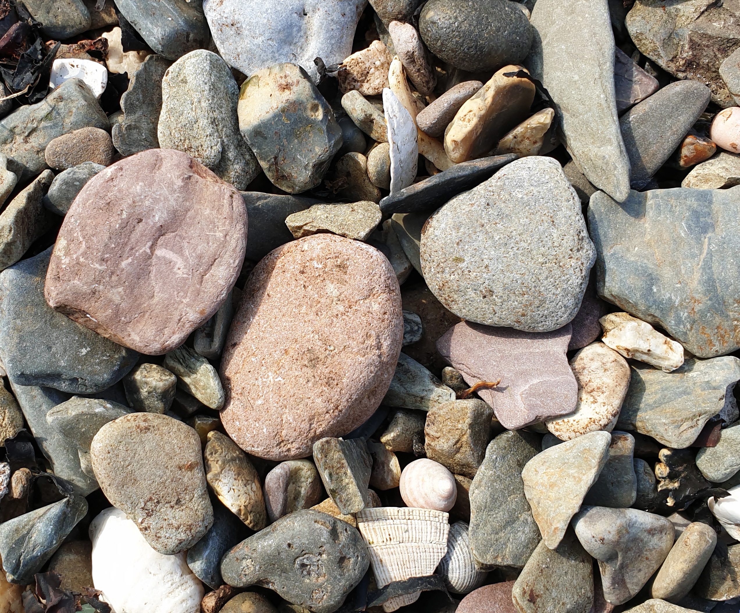
The intertidal substrate in the Bay Zone is predominantly shingle on the upper shore with mud exposed at low tide on the west side of the bay, and sand exposed at low tide in the centre and east side of the bay. Over 20 years ago, as a result of a council/local community initiative, large amounts of stones and rocks were removed from the bay to create a sandy beach.
